
Land Surveys
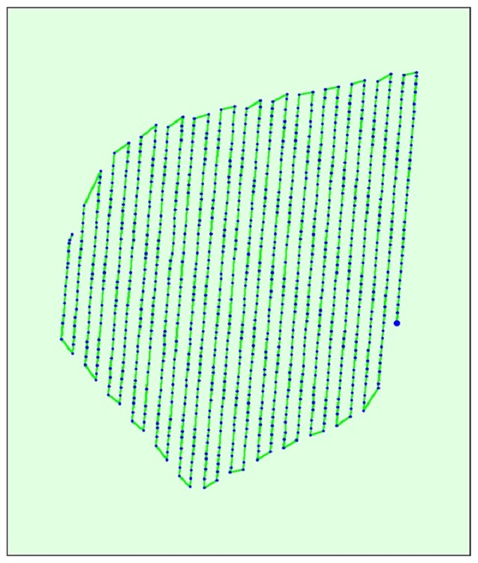
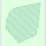
Data Gathering
We are experts at using commercial platforms to augment the capability of surveyors to gather topographical detail, faster, safer and more efficiently.
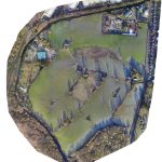
Modelling survey by Ocuair
Surveying in Ground Control Points (GCPs) – a lonely job

GCP Marker

GCPs from the Air

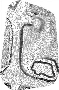 Outputs
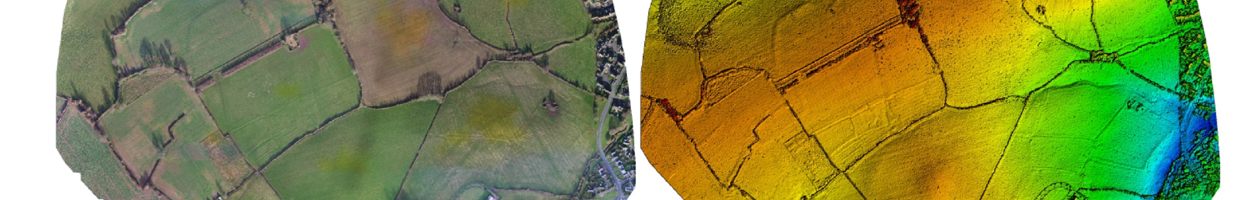
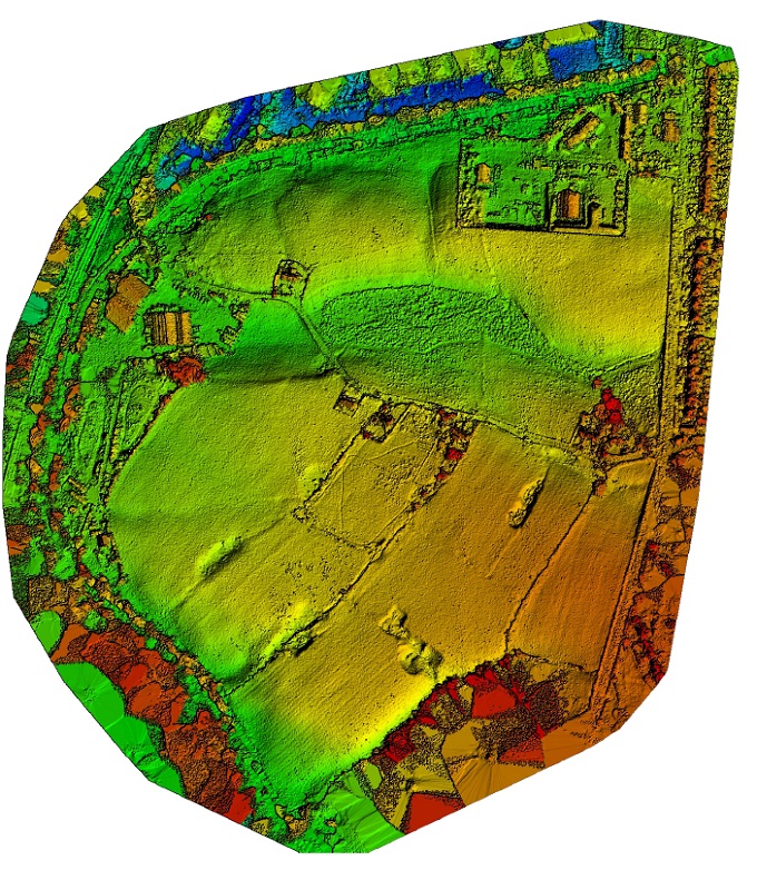
For example, over 100s of hectares we can rapidly and remotely gather high-resolution, geo-referenced, topographical data, and at the same time produce a photo-realistic 3D model, gigapixel aerial image, Google Earth tiles and other bespoke outputs.
Using Global Mapper we can convert data into a range of outputs to suit your needs
Outputs from a land survey
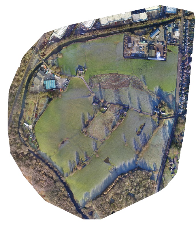

Case Studies
Take a look at some case studies of our land surveys.
Contact us for more information about land surveys